Geomatics, Integrated Sensors and 3D Imaging
Published on: 03/06/2026
Technical publication exploring integrated sensor surveys, LiDAR, sonar, CCTV, and geomatics applications for underground infrastructure inspection and 3D mapping.
Geomatics
Technical publication exploring integrated sensor surveys, LiDAR, sonar, CCTV, and geomatics applications for underground infrastructure inspection and 3D mapping.
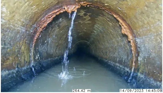
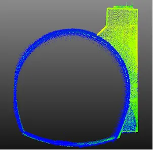
Technical publication examining integrated sensor surveys for wastewater collection systems using sonar, laser, CCTV, and point-cloud technologies for infrastructure assessment and maintenance planning.
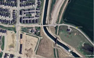
Technical publication examining underground pipeline mapping and hydraulic characterization using integrated sensor technologies for infrastructure planning and engineering analysis.